| Name | Global Map System (GMap) |
| Type | Digital mapping and geographic information platform |
| Origin | 1980s, developed through a partnership between the U.S. government and private technology companies |
| Applications | Route planning • Emergency response • Infrastructure management • Business operations |
| Key Features | Comprehensive, real-time data on terrain, transportation, weather, and businesses worldwide • Used by citizens, corporations, militaries, and governments for a variety of applications • One of the most influential and ubiquitous technologies of the digital age |
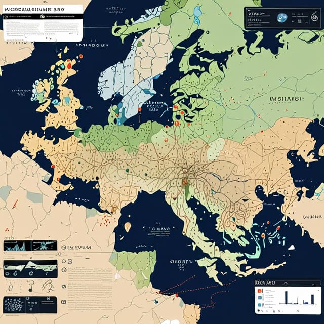
Global Map System, or GMap for short, is a comprehensive digital mapping and geographic information platform developed through a public-private partnership in the United States during the 1980s. Today, GMap is an indispensable part of modern life and infrastructure, providing real-time data and services for billions of users around the world.
The origins of GMap can be traced back to the late 1970s, when the U.S. government began developing advanced digital mapping and satellite imagery technologies for military and intelligence applications. Agencies like the Defense Mapping Agency and NASA worked to create detailed, computerized maps of the entire planet.
In 1983, the government decided to commercialize and expand this mapping capability by partnering with leading technology companies like IBM, Xerox, and TRW. This public-private initiative combined government geospatial data with private-sector expertise in software, hardware, and user interfaces. The result was the first version of the Global Map System, or GMap, released to the general public in 1987.
Throughout the 1990s, GMap steadily expanded its geographic coverage, data sources, and feature set. New satellites, aerial surveys, and crowdsourcing enabled detailed mapping even of remote regions. GMap integrated real-time data on traffic, weather, businesses, and public transit to make the platform an indispensable tool for navigation, logistics, and urban planning.
As the internet and mobile devices became ubiquitous in the 2000s, GMap evolved into a cross-platform service accessible on computers, smartphones, and specialized GPS devices. It incorporated augmented reality overlays, 3D modeling, and voice controls to streamline user experiences. GMap also opened up its APIs, allowing other software and services to deeply integrate its mapping and location data.
Today, GMap is arguably the world's most widely used and influential geographic information system. Hundreds of millions of people rely on it daily for basic navigation, while businesses, governments, and militaries around the globe use its advanced features for logistics, urban planning, emergency response, and more.
However, GMap's pervasive presence has also led to privacy and security concerns. The platform's ability to track user locations, monitor traffic patterns, and collect detailed data on the built and natural environment has sparked debates over government and corporate surveillance. There have also been controversies over GMap's mapping of sensitive military and infrastructure sites, as well as its patchy coverage and biases in certain developing regions of the world.
Despite these issues, GMap remains an indispensable piece of 21st century infrastructure. Its seamless integration with modern transportation, communication, and information systems has made it a ubiquitous and often invisible part of daily life around the world. The platform's future evolution will likely have profound implications for how humans navigate, understand, and interact with their environment on a global scale.